Vanoise
DUO HIKING IN VANOISE NATIONAL PARK
How can we make Vanoise trails accessible to visually impaired people? By focusing on sharing.
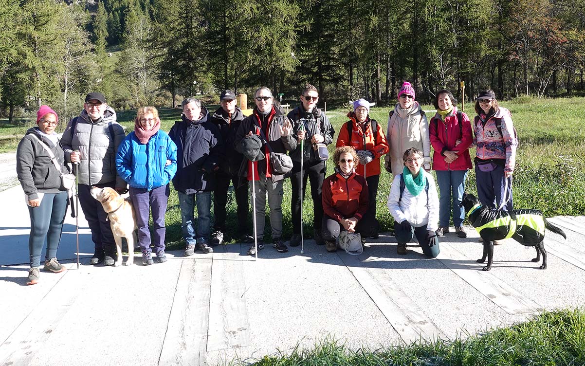
> Duo trek accessible to the visually impaired

> Park visitor booklet printed on swell paper


DÉTAIL DU PROJET
Discovering the mountains without seeing them
In Vanoise National Park, outreach takes on a special dimension: the experience happens outdoors, in the heart of nature, at the pace of a hike. A hiking duo, consisting of a sighted person and a blind or visually impaired person, moves along the trails together.
This walk is punctuated by moments of pause: whether it’s a quick stop or an evening at a mountain hut, these breaks are essential for conversation, describing the landscape, and planning the route ahead.
To support these guided tours, we collaborated with Manon Sarthou from L’Iliade du Patrimoine, an association specializing in accessibility, who is in charge of the project for Vanoise National Park. Our mission: to handle the graphic and technical design of an inclusive tactile booklet. Designed as a hiking guide, it offers a fully shared experience.
A guide for sharing a landscape
Used before or during the walk, the visitor booklet helps users understand the route and discover the elements encountered along the way in relief. It includes maps with hiking paths, representations of animals, and illustrations of buildings or shelters found on the trail. Designed to be handled by two people, it ensures perfect equality of information: the pair accesses the same details at the same time.

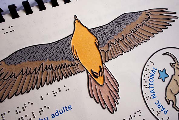

A guide for the blind, visually impaired, and sighted
The strength of this booklet lies in the complementarity of its tactile techniques, combining dual-script and relief images.
On the text side, the pages layer enlarged characters to facilitate reading for the visually impaired with embossed braille for braille readers. The printed text corresponds exactly to the braille text, a significant constraint that guided the layout to accommodate the large volume of the braille alphabet.
Exploring the map by touch before the terrain
For the illustrations, we chose swell paper, where black ink expands under heat to create raised lines. This technique produces lightweight, easily transportable relief images, making it ideal for outdoor use and small-batch production.
Next comes the design of the tactile maps, which serve both to convey practical information and to visualize the landscapes being traversed. Translating a territory into a tactile drawing requires graphic interpretation: simplifying shapes without distorting them, prioritizing information, and naturally guiding fingertip exploration. Line thickness, relief levels, and tactile patterns are carefully adjusted to make routes, landmarks, and key landscape features immediately identifiable. The relief aids visualization for blind individuals, while high-contrast colors enhance map comprehension for those with low vision.